Saturday 8 May 2010

Hi again,

Heres some pics of the latest update. I'm now past the point (In less that 12 hours) that it took me several months to get to before. Probably no more this weekend though, work! Pah!

The view looking up the hills away from Gifford. The hills look more gentle and rolling than before, but this one still hides a nasty 1 in 53 gradient!

As a desperate attempt to get a large farmhouse with a courtyard in the middle, I stapled 4 of the same building together. After adding a conservatory, an allotment and greenhouses, I feel the result isn't actually bad.

Doing a dummy run without decals, this is Gifford station, which is actually now almost complete. It seems a bit empty, but more clutter will be added.

View looking away from Gifford station again with the decals off. The results aren't bad but more work still needs done on the background here.

The real Gifford station was built up so that the station could be level, a fact I neglected before because it made things too awkward, but shown here as a fairly good representation. The eagle-eyed of you will notice that the old 5-compartment carriage isn't present anymore. That's because i can't figure how on earth whoever put it there managed to keep it there without having to build another platform for it!

View looking towards Gifford from the fields.

Miles away from everything, I discovered the results of a furious contest of wits between me and the RW height tool. I had thought I had won, but evedently it got its own back - these pillars extend for many miles in both directions!

Friday 7 May 2010

Gradients and Giggles

Hi all!

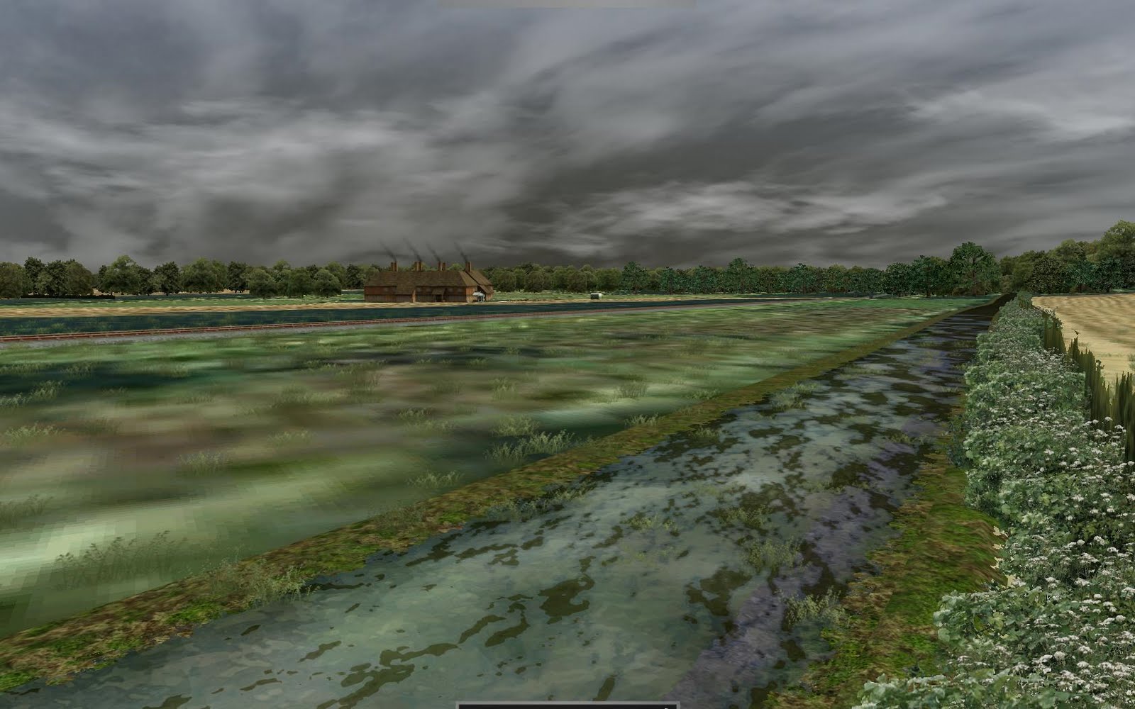
Firstly, my route's been saved by the grace of RW tech support, only downside is that all the track gradients are jumbled. The main line is easy to fix but at Gifford station the track is quite complicated and I don't fancy my chances of being able to re-lay it again, so since the gradients are menial (1 in 85,000!), I'm just leaving it be. Above is the latest development picture, there's not much change, but the run round loop has been completed.

Anyway, all this talk of gradients brings me neatly the article on heights and gradients I wanted to do. My problem with the route is, first and foremost, the fact it no longer exists. Secondly, even in its prime, the route was very obscure (In one of my first posts, I described it as a branch line of a branch line of a branch line of the ECML) and so there's not much information availible on it. All I have to go on, is Google Earth, following the scars in the landscape, and OS map, the railway plans and a book on the railways of Midlothian. This may seem a lot, but theres pro's and cons to each resource. For example, the OS maps offer high detailing of railways, yards, infrastructure and surroundings, but lacks information on signaling and gradients. The railway plans weirdly lack information on the railway (It only covers the main line and not yards or stations) but has excellent gradient information.

With all my resources, I have a good idea of what the surroundings are and where the lines and yards should be. My problem is gradients. The OS maps show spot heights on roads and rivers but not railways as well as contour lines, making accurate gradients difficult. The plans for the railway show excellent gradient information, but only for what was expected of the route, so the actual gradient information is lacking. In the book (The Haddington, Macmerry and Gifford Branch Lines by A.M. Hajducki) there is a gradient diagram from after the construction of the line, the only issue is that the diagram is rather wonkily drawn and so I doubt its accuracy.

The issue list extents when you use all the information together! For example, the hill just outside Gifford is shown as 1 in 50 on the diagram, but only 1 in 53 on the plans. Also, the plans show the whole railway, which was originally supposed to run from Ormiston to Garvald, on which Gifford station is on a 1 in 50 hill, however the line only completed as far as Gifford, there the gradient was leveled to accommodate the terminus.

My solution, is to use the gradient from the plans, then compare it with the information from the OS maps. If the railway ends up 10m above the ground or is otherwise unreasonable, try switching to less accurate diagram and compare results. If it is favourable then use that instead. If it is still unacceptable, then you just have to use a combination of the plans and the diagram, validating it with the OS information, to create an in-between that works. For example, the problem on the hill outside Gifford, I originally tried the 1 in 50 gradient, but this left the railway mid-air, so i tried again with 1 in 53 gradient and it fit rather well!

Well somewhat pointless, but thats my article on why conflicting 110-year-old records are somewhat of a headache to use. More updates soon!

Wednesday 5 May 2010

A racing start into brick wall

Thanks to my many maps and other resources, I pretty much got the point I was at with the first run after several months, in a little under 2 hours! Alas, its not all good news, when I ran a scenario to see how much room I had in a run around, it CTD! All other attempts to load the route, in editor or play mode also CTD. It was bad enough having to start it again so I'm hoping someone can help me with the error so I can save my work! Incidently, for whoever wants to take a bash at it, the error message is shown below.

Cheers all!

That dreaded error message

Blocky, but a decent start on the terrain.

Forming Gifford station (billboards and track to aid placement)

An amusing side effect of the way I'm using the height tool is that far away from the track, there are massive plunging cliffs!! The massive cliff is just basic height detail but note the small cliff on top marking the outer edge of the finer detailed height mapping.

Tuesday 4 May 2010

A depressing, but nessecary way to go


After buying all the OS maps and spending several hours in the national archives taking measurements, I've decided to restart the route from scratch. The way I've been designing the route so far would cause unnecessary work for me to continue it accurately, and since I didn't get too far with the first run, its not too bad.

The good news is that I now have all the resources I need and I'm also now on my holidays from university (after my exam tomorrow, of course), so I should have good time to work on the route. The picture above shows the very start of my work at Gifford. With the new height information, I now have a base height to use, hence the massive cliffs visible in the top of the picture. These cliffs and other height features will be made to look normal once development continues. Just as a brief thing, I want to do an article about the problems I currently face in terms of gradients on the route, but more on that in the coming days!